
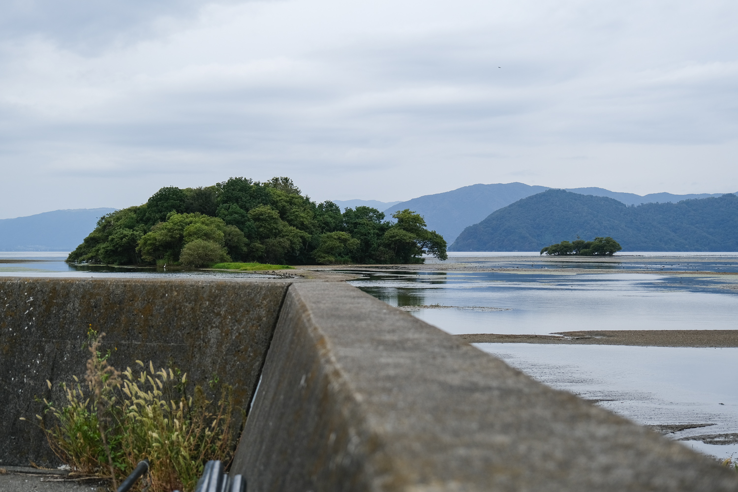
琵琶湖の渇水によって現れた奥の洲への道、和製モン・サン・ミシェル…The road to Okunozu that appeared due to the drought of Lake Biwa, the Japanese-made Mont Saint-Michel…
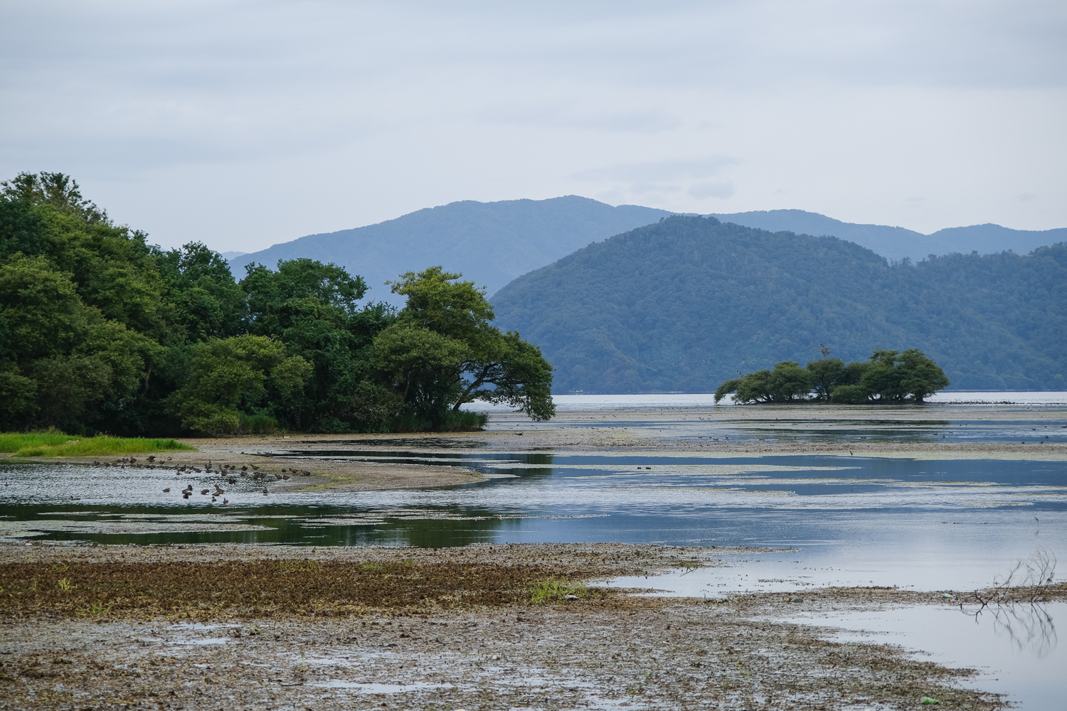
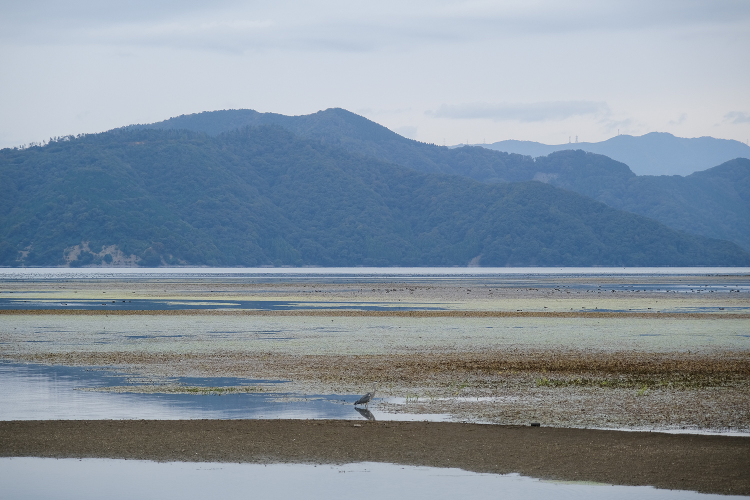
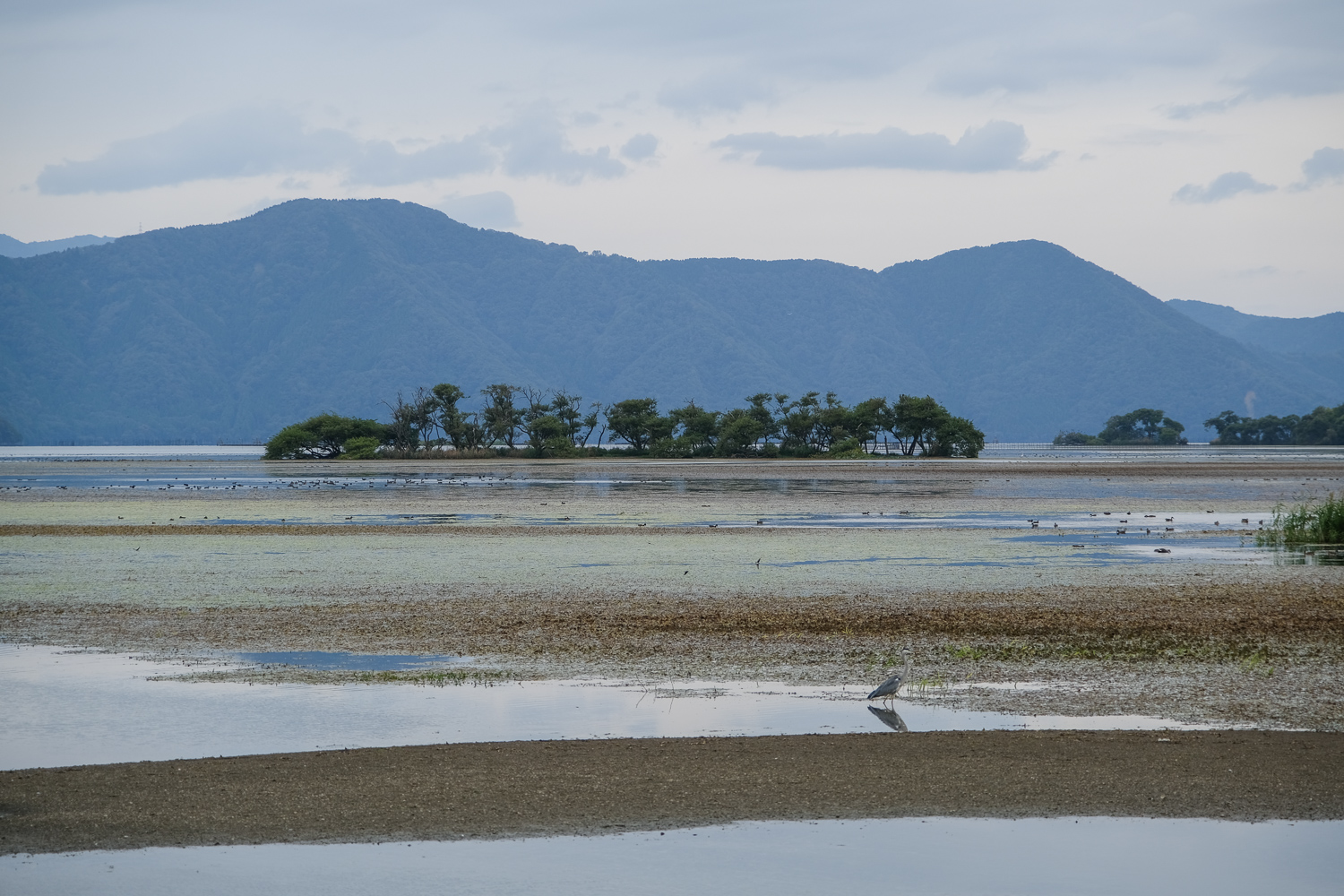
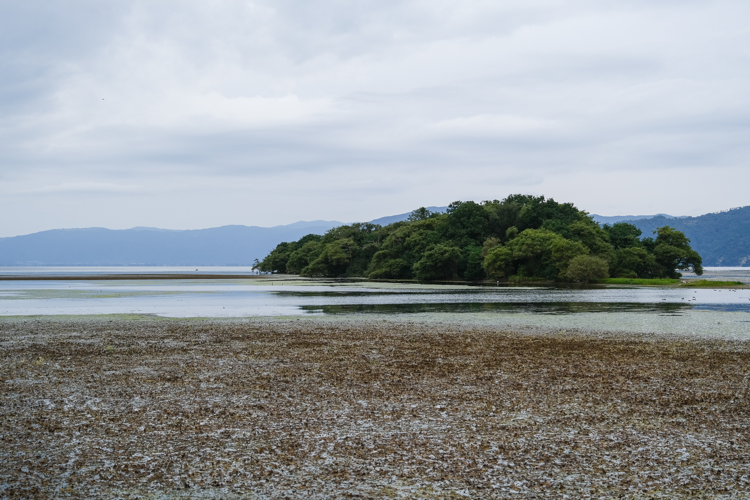
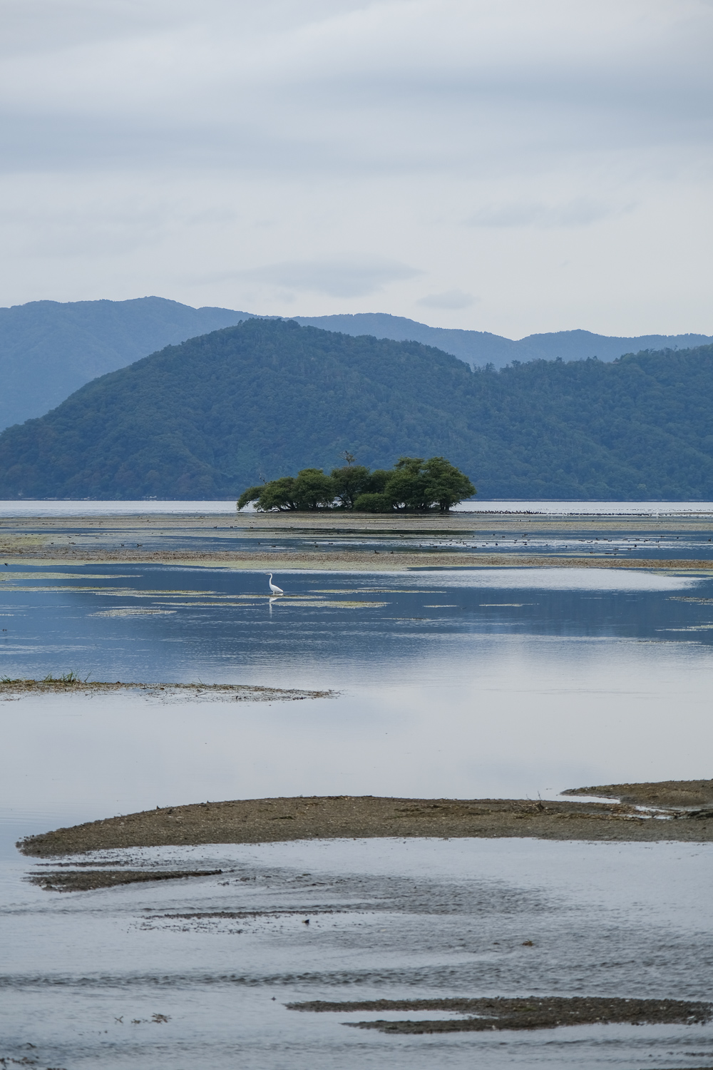
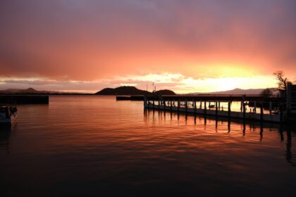
2023年の12月、琵琶湖の水位は少雨によって-70cmという渇水状態になった。そのため琵琶湖のあちらこちらで普段は見えない湖底が晒される場面が見られることに。
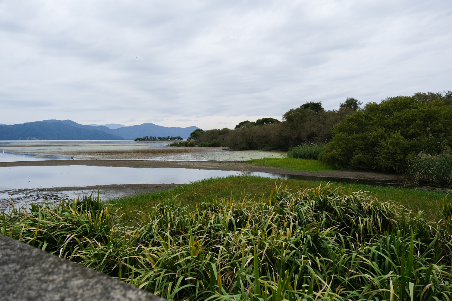
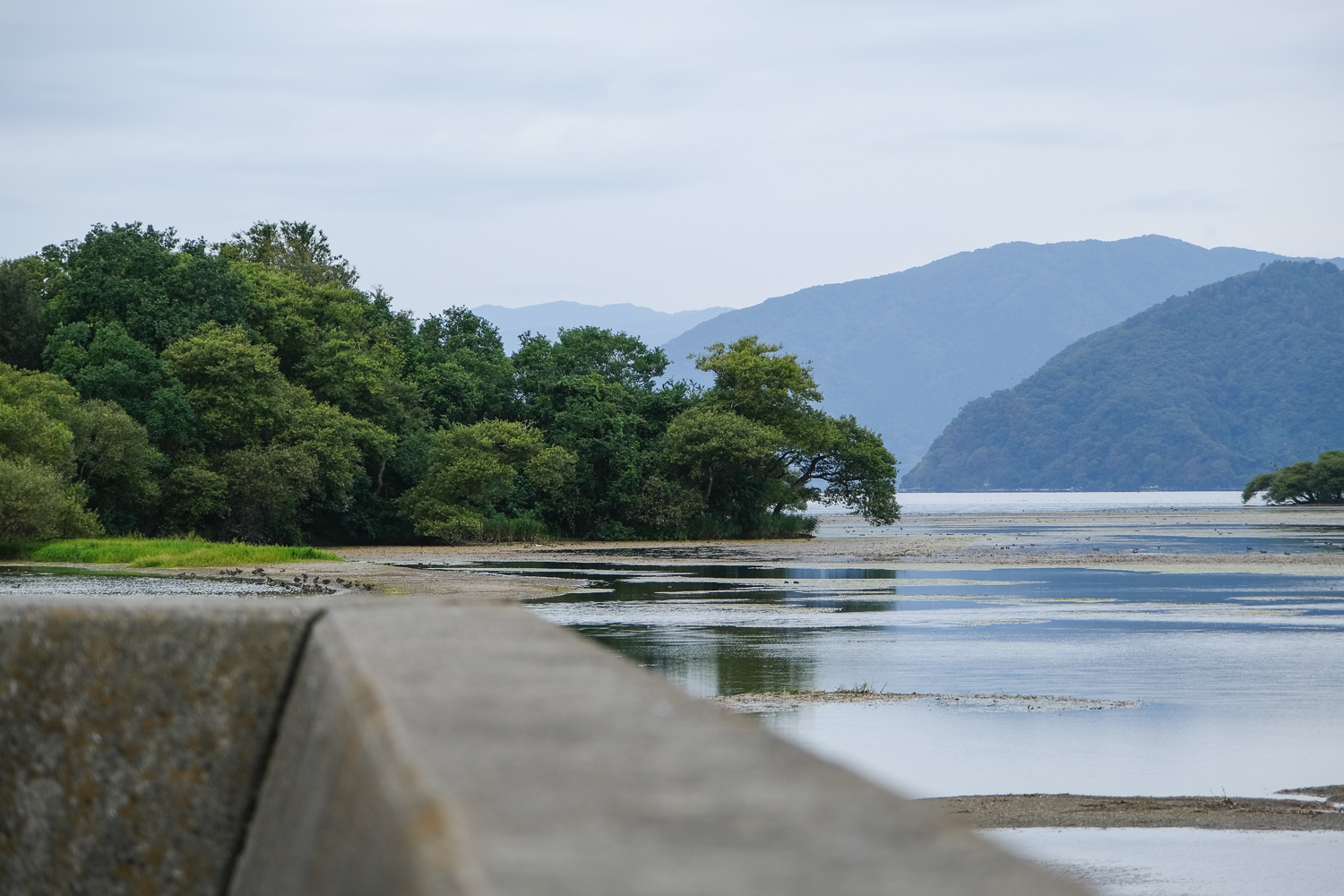
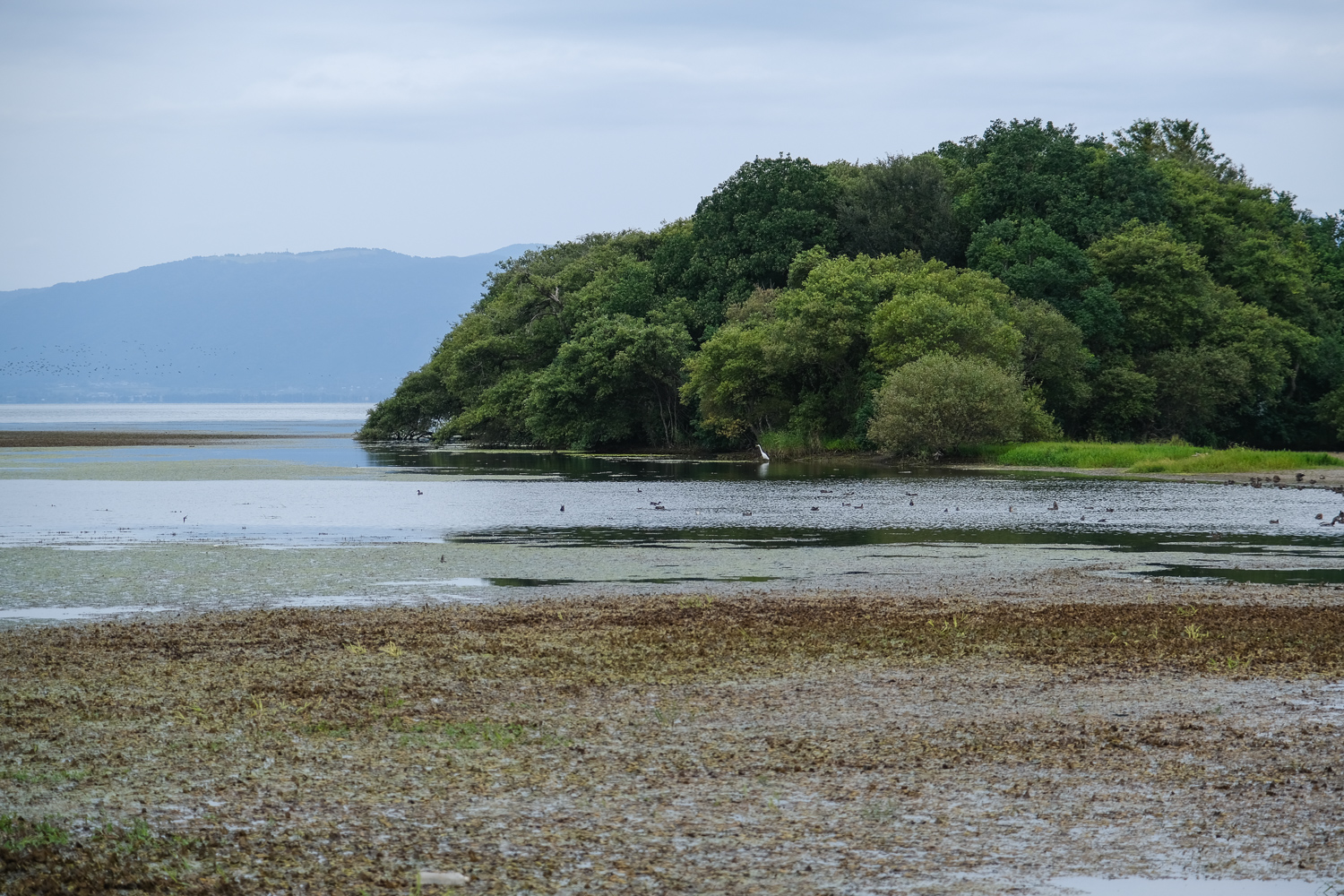
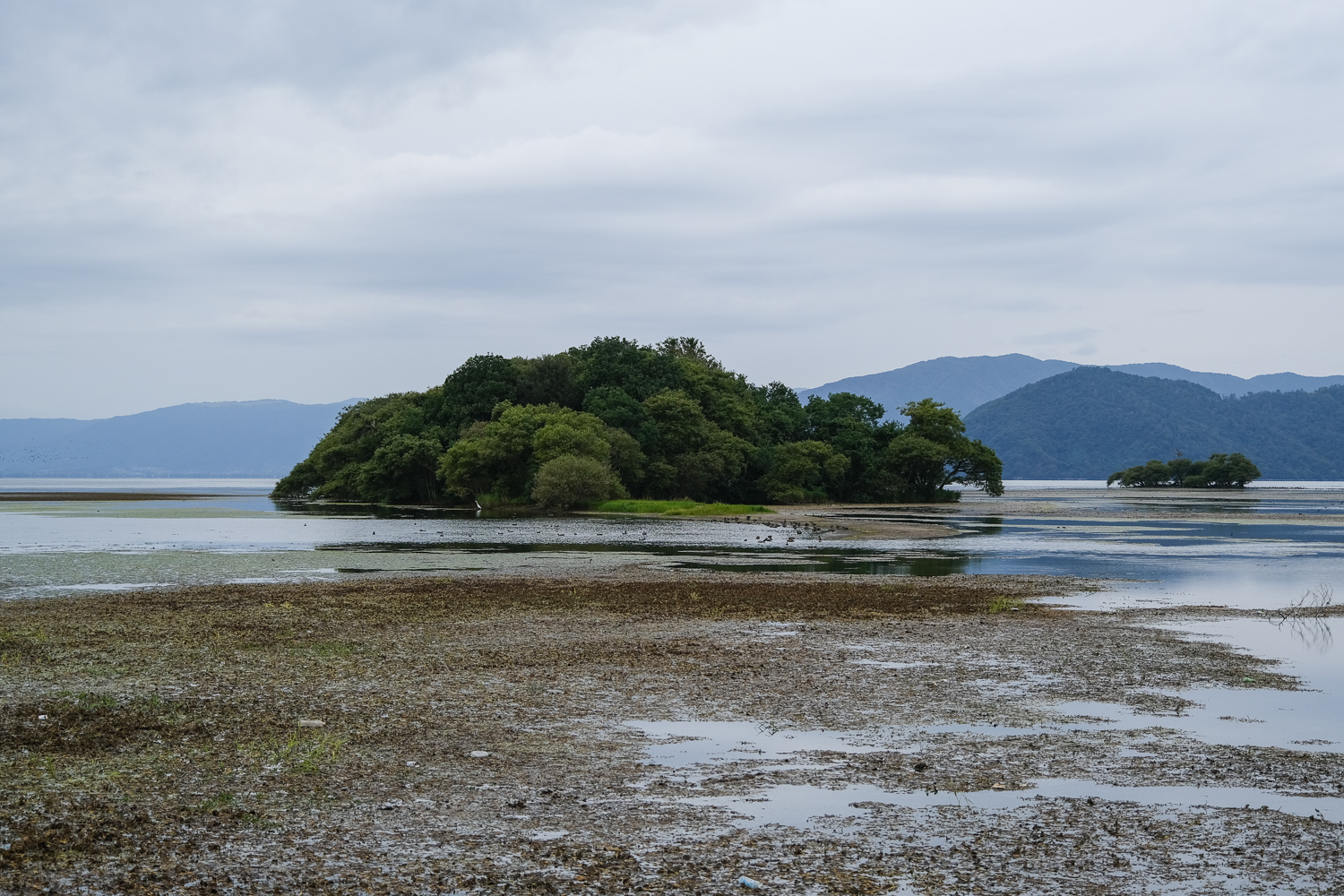
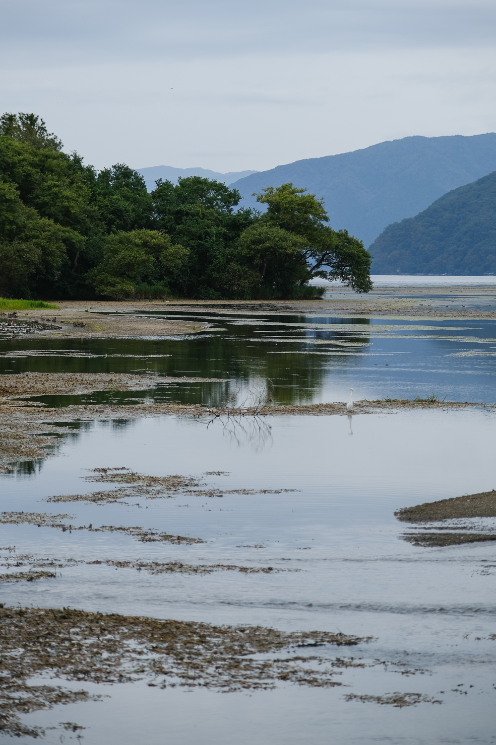
長浜の湖岸・奥の洲では、普段は陸から200m離れた琵琶湖に浮かんでいるのだが、この渇水によって湖底が晒され陸続きになっている。
それはあたかも、フランスの寺院・モン・サン・ミシェルのようだと、話題になっている。
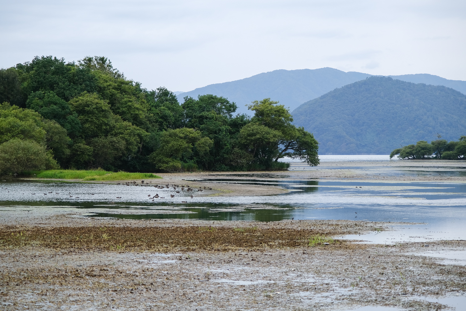
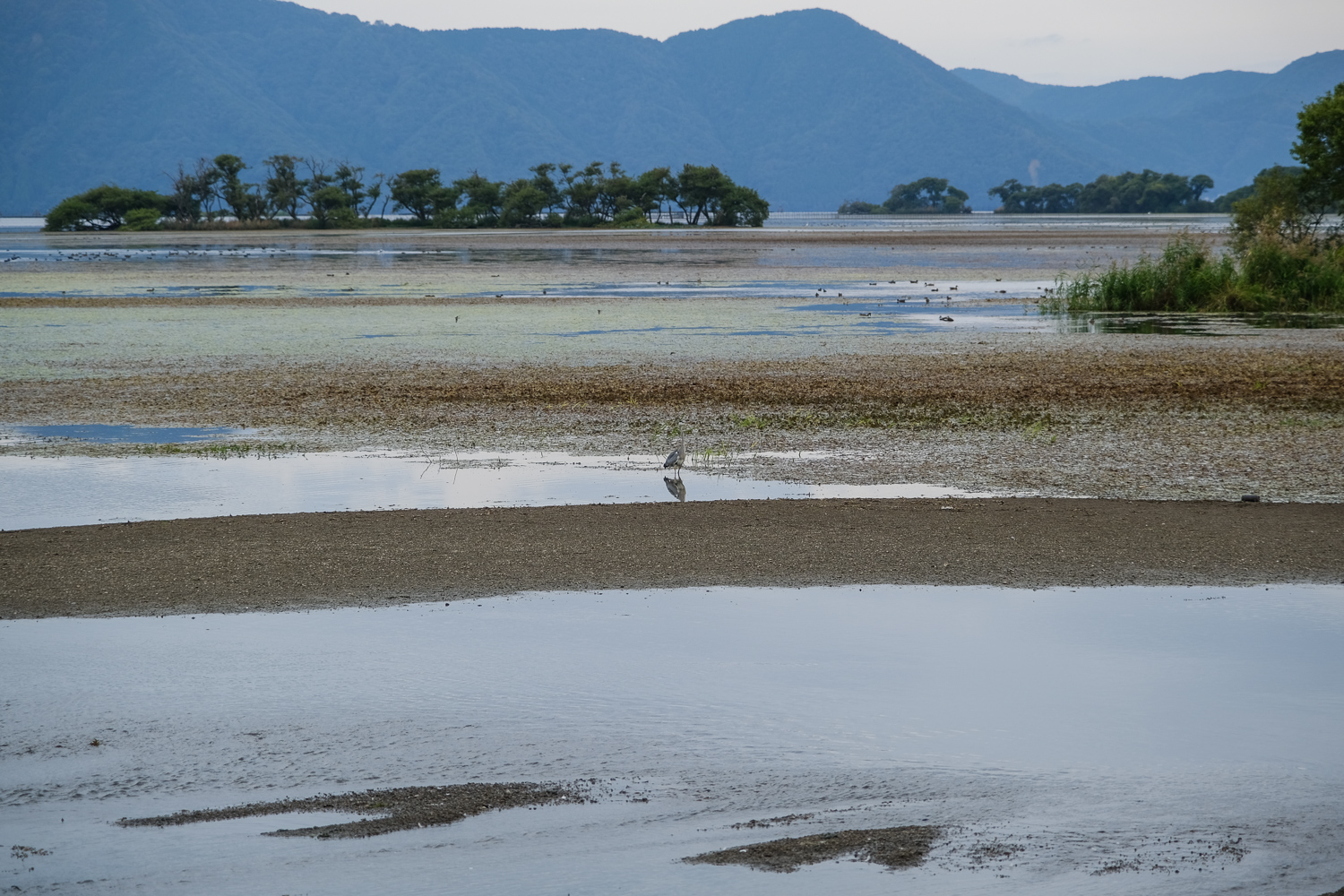
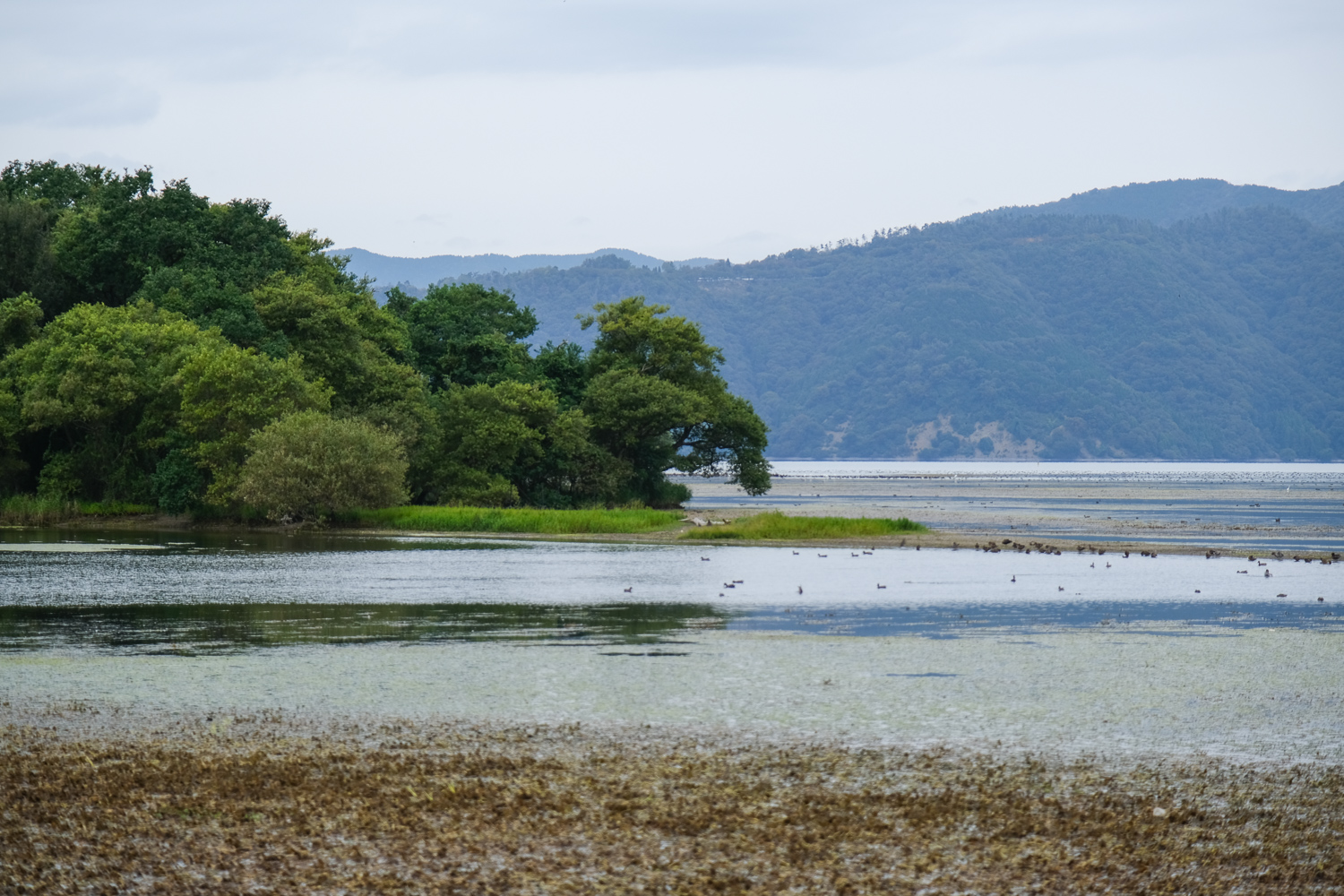
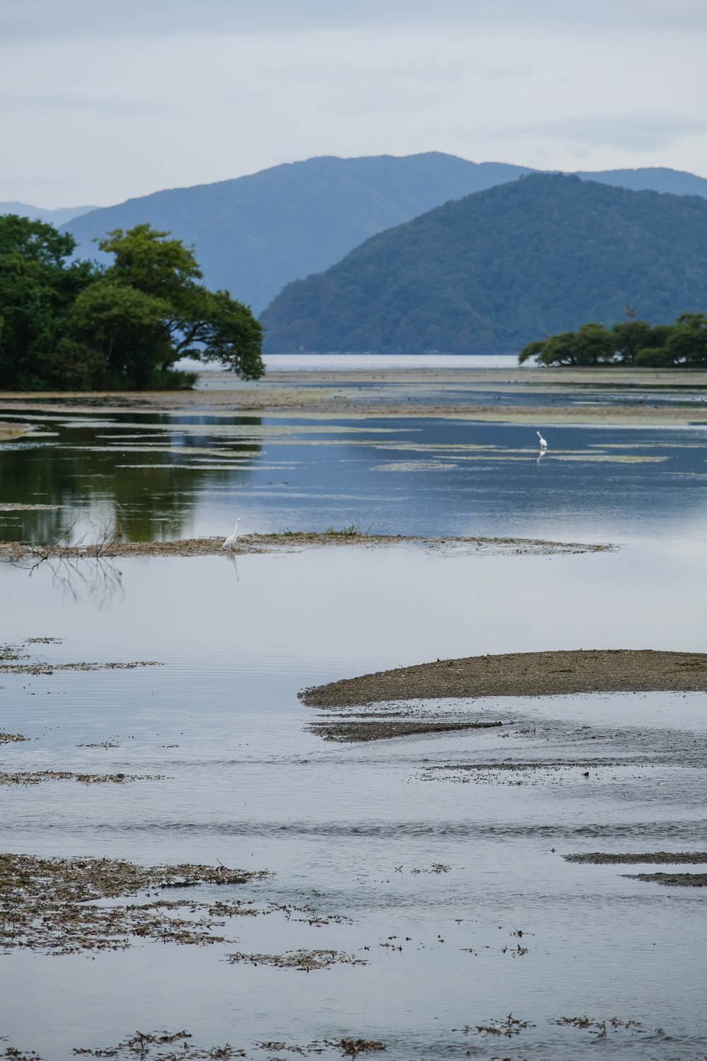
このことが話題になって、滋賀県内外の観光客が訪れ、琵琶湖岸に降りあらわになった湖底を歩き写真を撮ったり奥の洲まで歩いて渡る姿が見られている。
In December 2023, the water level of Lake Biwa fell to -70 cm due to light rain. As a result, the lakebed that is normally invisible can be seen exposed in many places around Lake Biwa.
On the shores of Nagahama, Okunozu, they normally float on Lake Biwa, 200 meters away from land, but due to the drought, the bottom of the lake has been exposed and it is now connected to the land.
It has been talked about as being similar to the French temple Mont Saint-Michel.
This has become a hot topic, and tourists from both within and outside of Shiga Prefecture have been visiting, walking along the exposed lake bed on the shores of Lake Biwa and taking photos, and walking across to Okunozu.
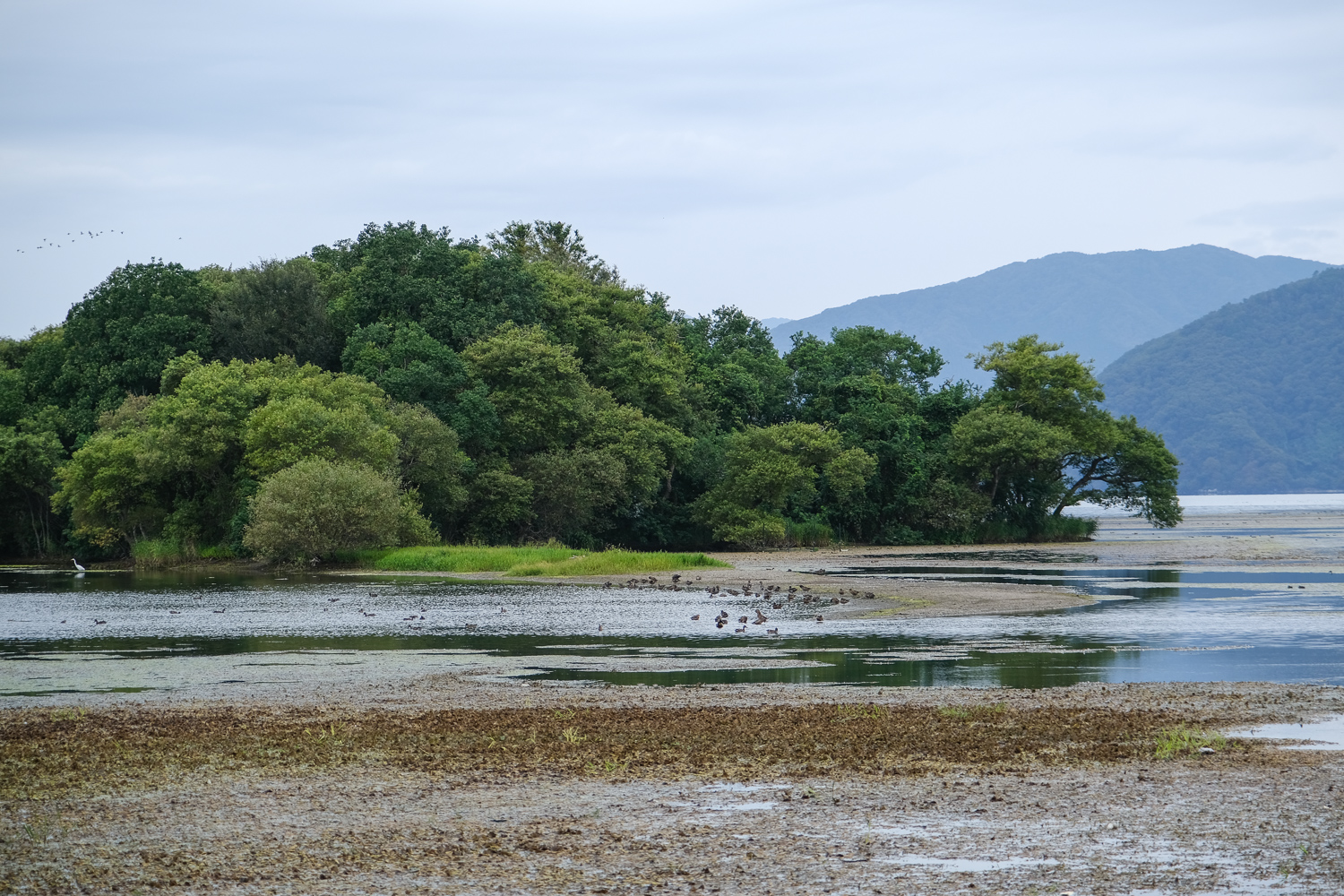
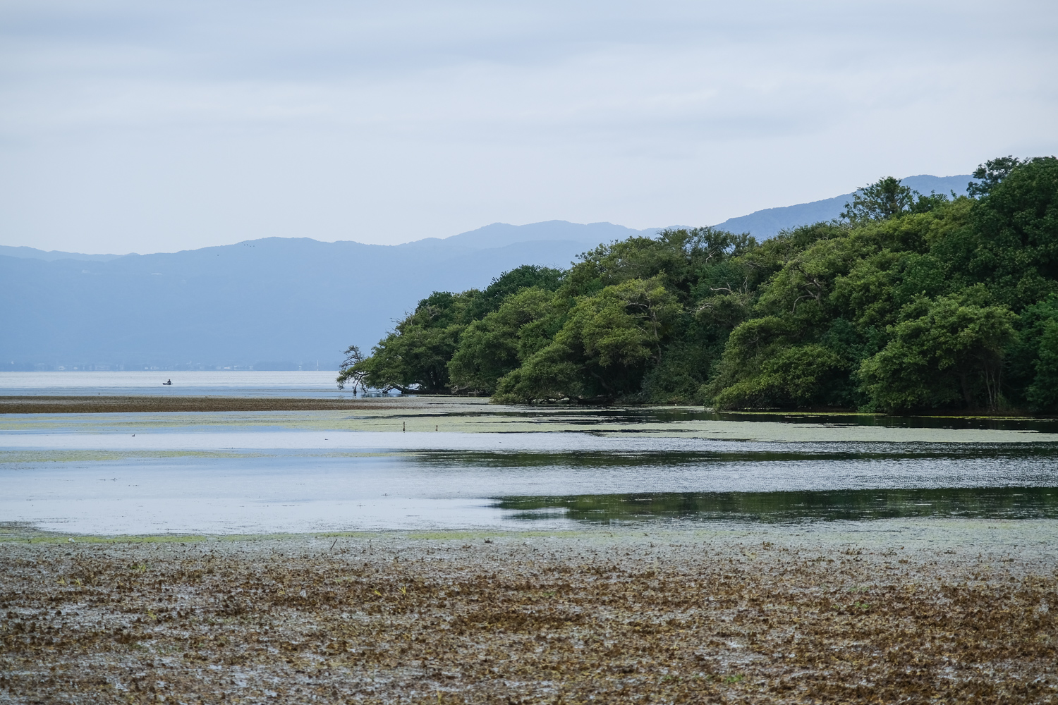
普段の奥の洲ってどんな様子だったのか。What was it like in Okunoshu on a regular basis?
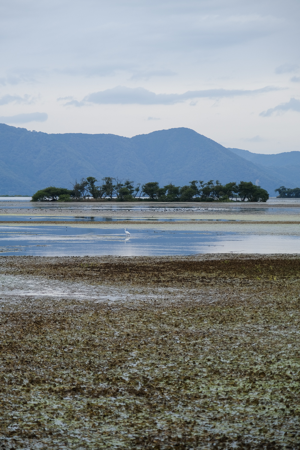
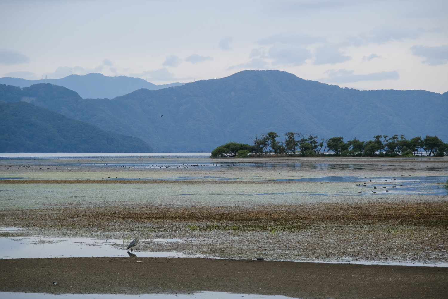
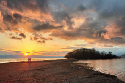
これまでは、陸続きになった奥の洲の様子を載せてきましたが、今回は渇水前の様子です。
水をいっぱいにたたえた琵琶湖に浮かぶ奥の洲をご覧ください。
So far, I have posted pictures of Okunozu, which is connected to land, but this time I will show you what it looked like before the drought.
Take a look at the Okunozu floating on Lake Biwa, which is full of water.
奥の洲の写真は他にも掲載していますので、以下のタグをご覧ください。
We have also posted other photos of Okunosu, so please take a look at the tags below.
・タグ:奥の洲
追記:滋賀県からお願いが出たようです(2023年12月27日)。
奥の洲(長浜市)を訪問される方へ~動植物に配慮した行動をお願いします~
撮影データ
・撮影日時:2023年10月8日 13:40頃
・撮影場所:〒529-0367 滋賀県長浜市湖北町海老江1049周辺
・撮影カメラ:FUJIFILM XT30
・撮影レンズ:XF16-80mmf4


撮影地 駐車場・トイレ 行き方・アクセス/Shooting location Parking lot/Toilet Directions/Access
奥の洲へは、下記のGoogle Mapを設定することで行けるでしょう。
奥の洲ポイントの湖岸道路の反対側には、わりと広い駐車スペースがあって車を停められます。
確認していませんが、おそらく奥の洲へ立ち寄るための駐車場のようです。
ここにはトイレはありませんが、湖岸道路の2km南側には”奥びわスポーツの森 駐車場”があって、そちらのトイレが使えると思います。
これらの施設や奥の洲へ降りる道〜浅瀬〜奥の洲は、いずれも公共・自然環境に属するものなので利用・立ち入りには注意が要りそうです。
You can go to Okunozu by setting up the Google Map below.
On the opposite side of the lakeshore road from Okunosu Point, there is a relatively large parking space where you can park your car.
I haven’t confirmed it, but it seems like it’s probably a parking lot for people visiting Okunosu.
There are no toilets here, but there is a “Oku-Biwa Sports Forest Parking Lot” 2km south of the lakeshore road, and I think you can use the toilet there.
These facilities and the road leading down to Okunozu, the shallows, and Okunozu all belong to the public and natural environment, so care should be taken when using or entering them.
奥の洲の撮影 写真・画像 / Okunozu photography photos/images


コメントを残す