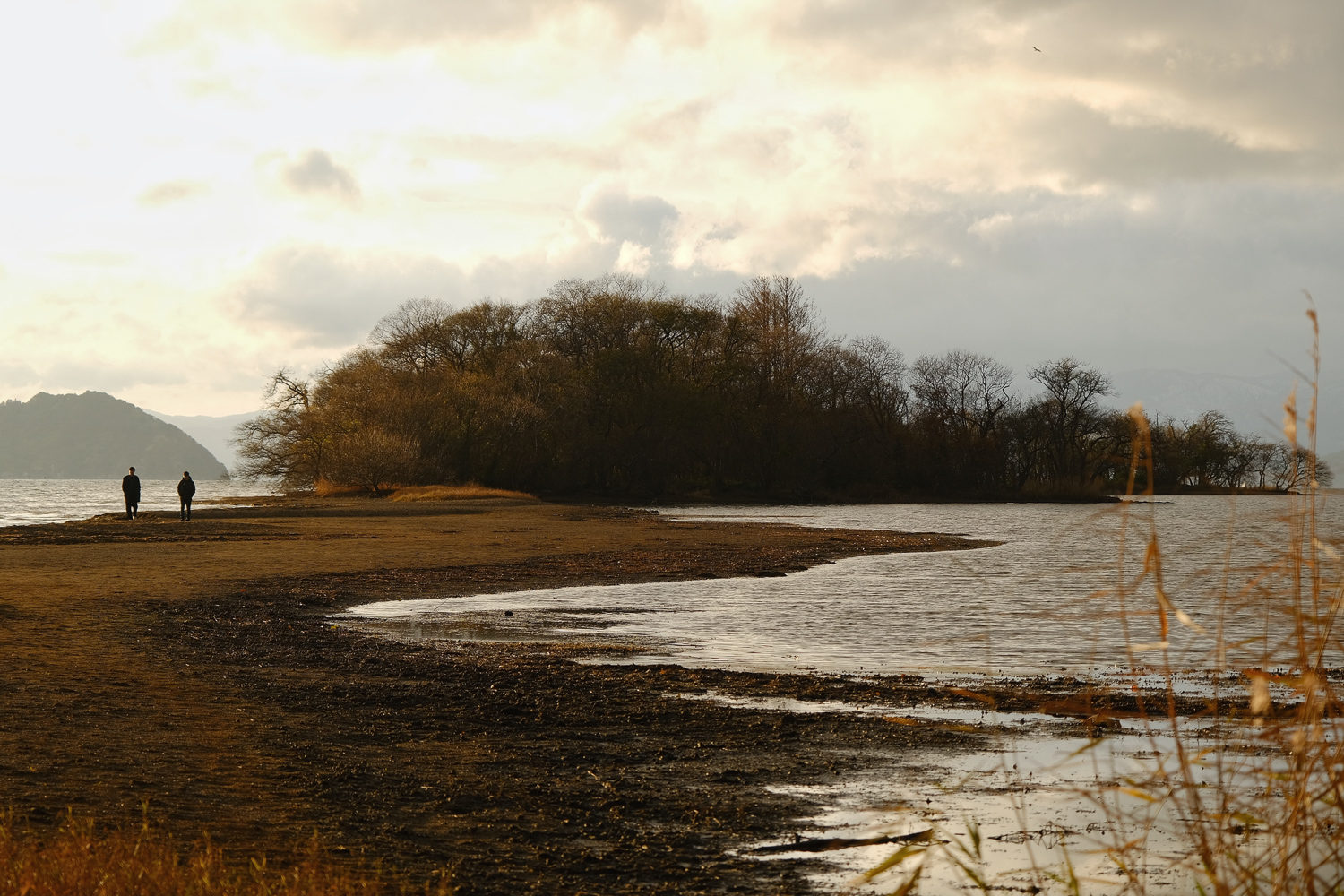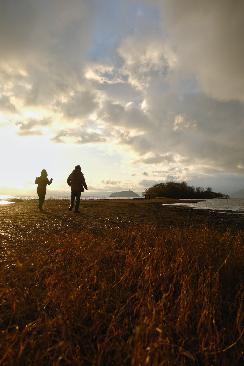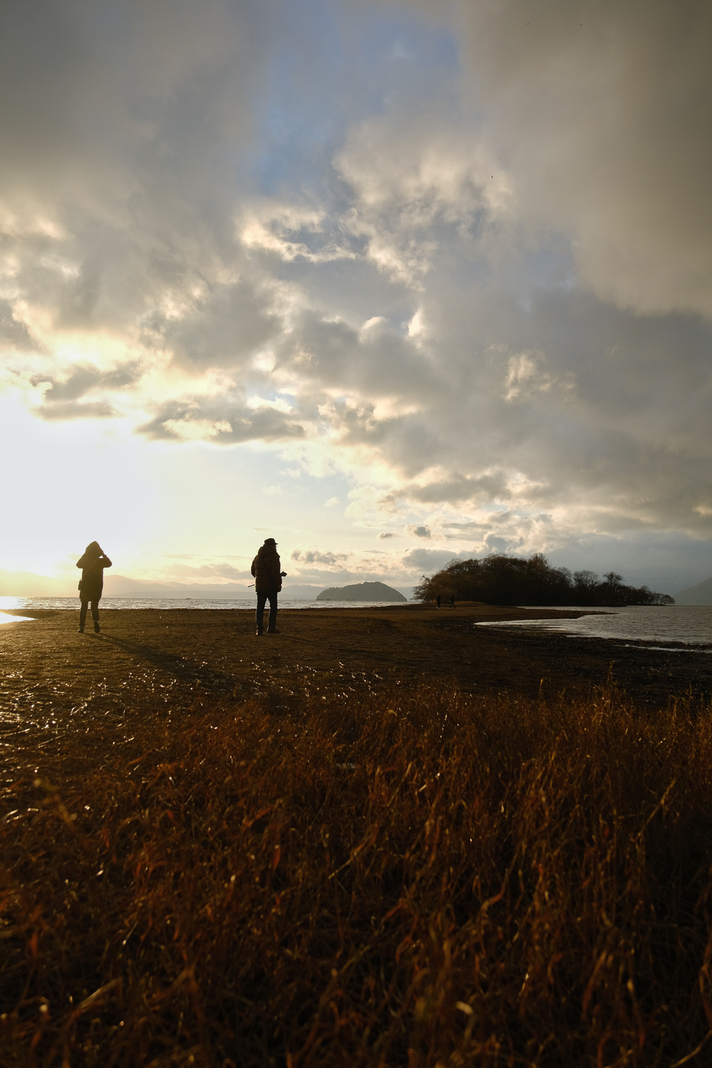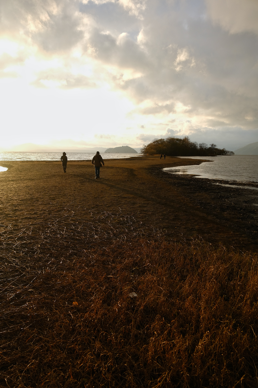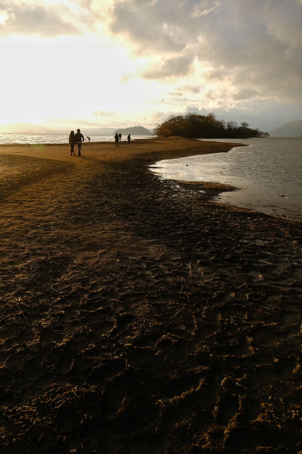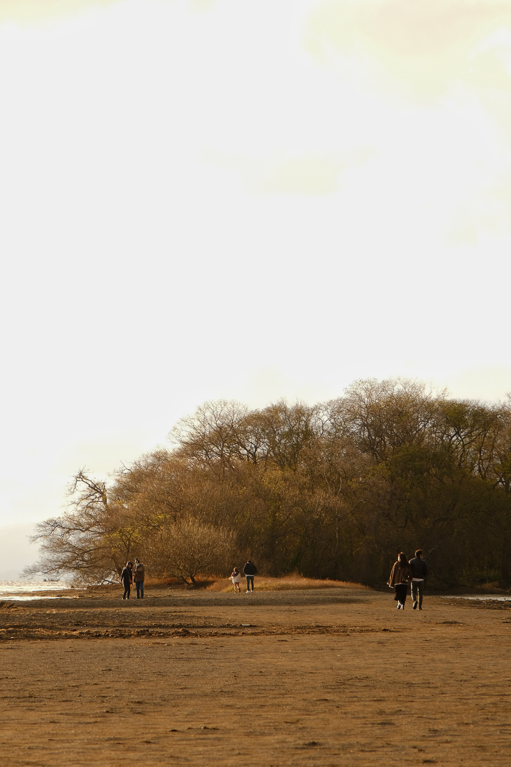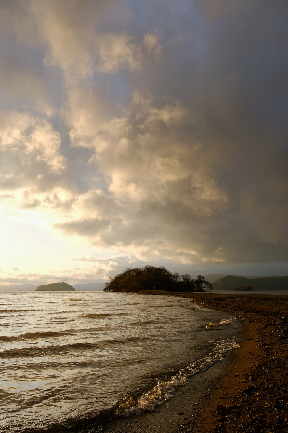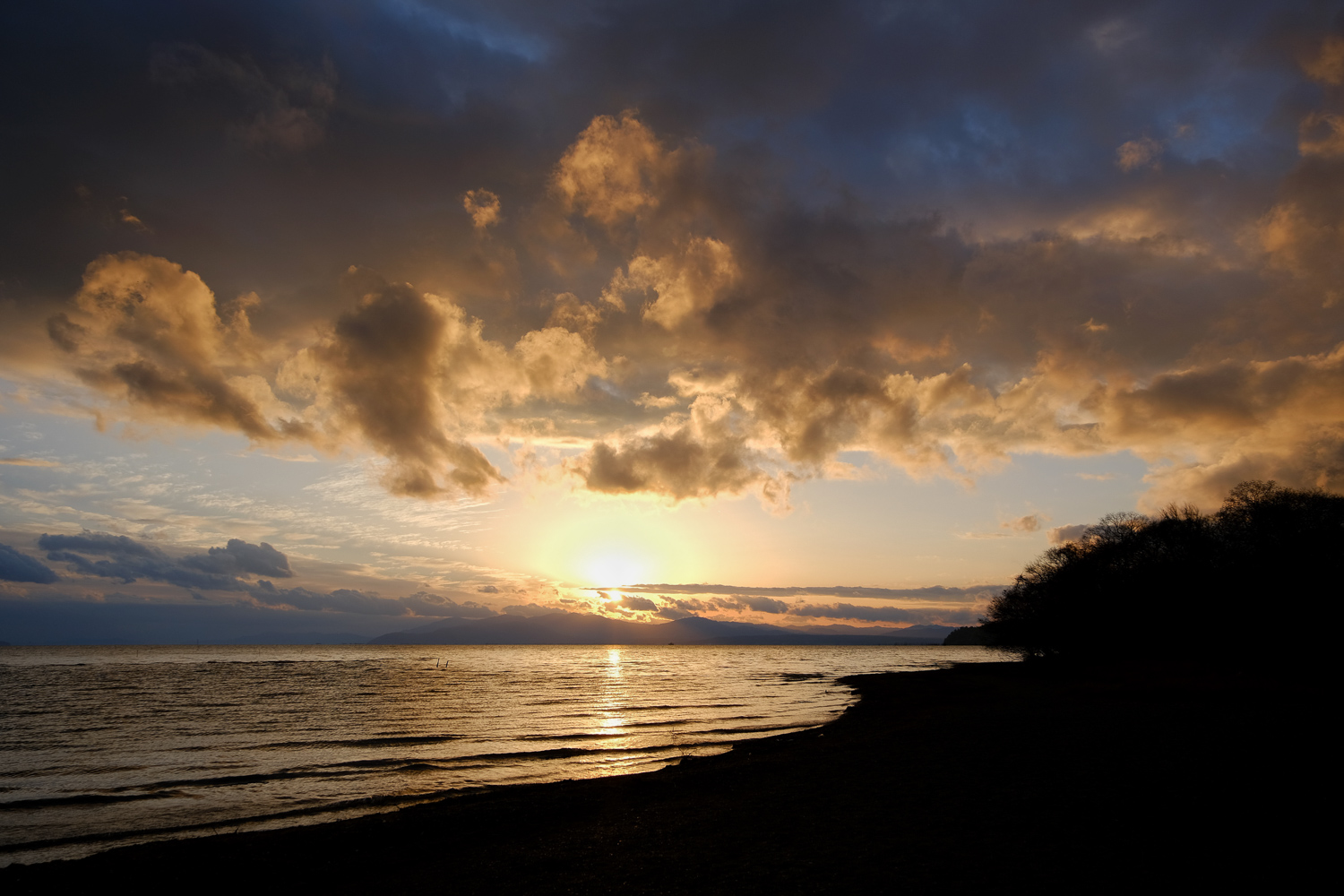
琵琶湖の渇水によって現れた奥の洲への道、和製モン・サン・ミシェル…
The road to Okunozu that appeared due to the drought of Lake Biwa, the Japanese-made Mont Saint-Michel…
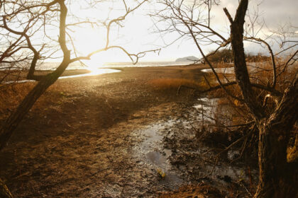
2023年の12月、琵琶湖の水位は少雨によって-70cmという渇水状態になった。そのため琵琶湖のあちらこちらで普段は見えない湖底が晒される場面が見られることに。
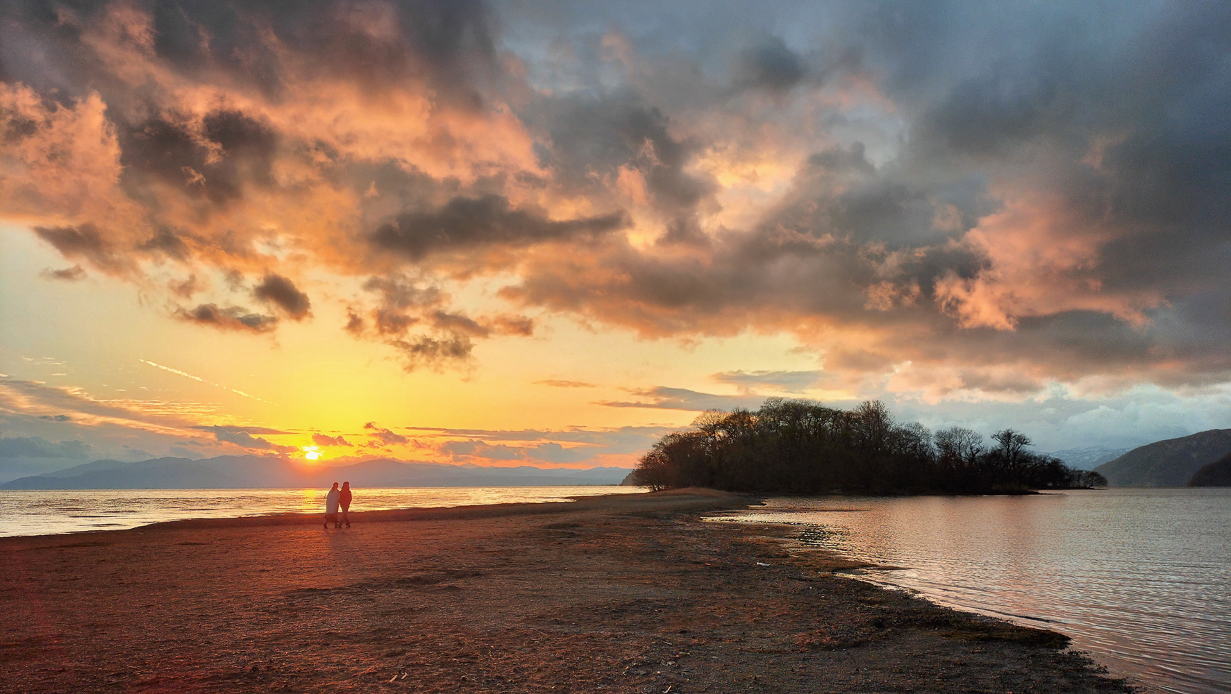
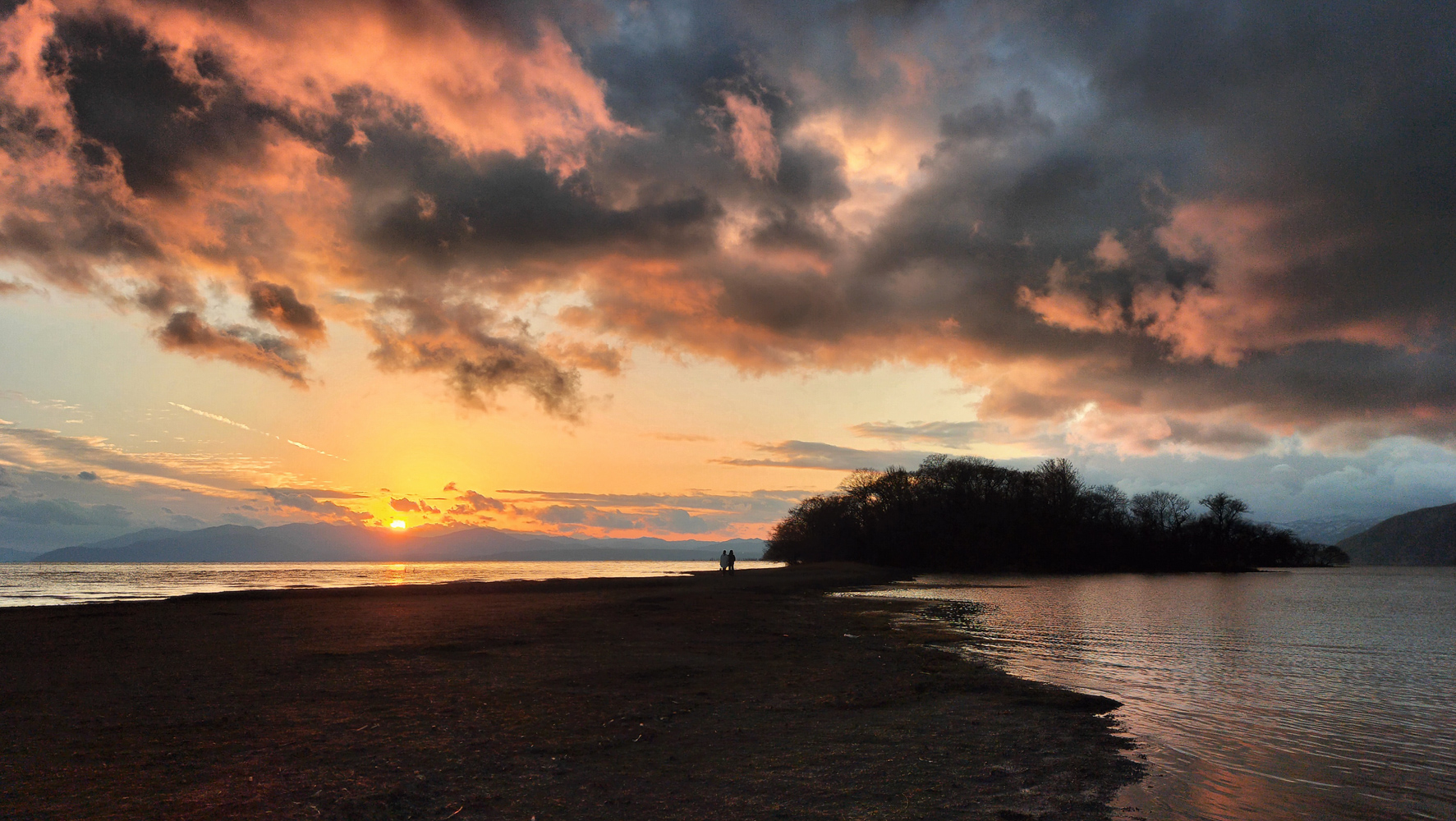
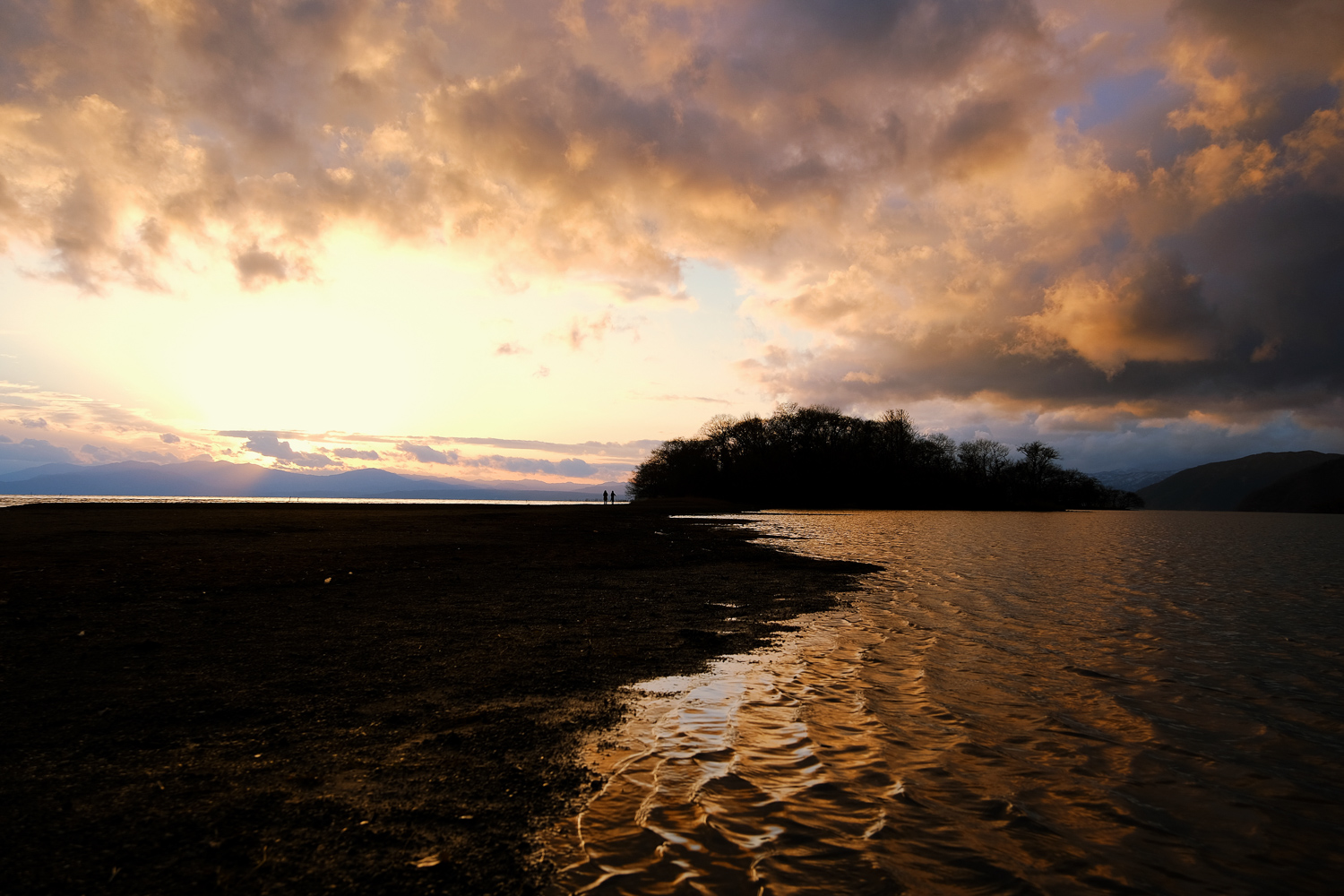
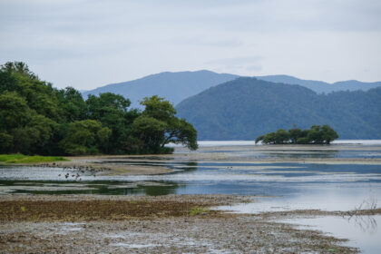
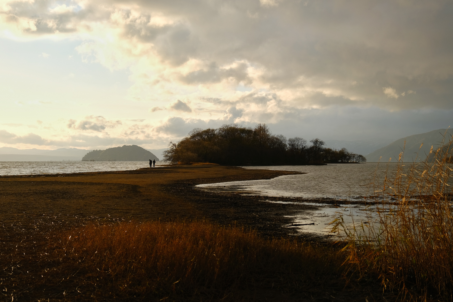
長浜の湖岸・奥の洲では、普段は陸から200m離れた琵琶湖に浮かんでいるのだが、この渇水によって湖底が晒され陸続きになっている。
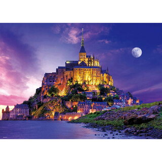
それはあたかも、フランスの寺院・モン・サン・ミシェルのようだと、話題になっている。
このことが話題になって、滋賀県内外の観光客が訪れ、琵琶湖岸に降りあらわになった湖底を歩き写真を撮ったり奥の洲まで歩いて渡る姿が見られている。
In December 2023, the water level of Lake Biwa fell to -70 cm due to light rain. As a result, the lakebed that is normally invisible can be seen exposed in many places around Lake Biwa.
On the shores of Nagahama, Okunozu, they normally float on Lake Biwa, 200 meters away from land, but due to the drought, the bottom of the lake has been exposed and it is now connected to the land.
It has been talked about as being similar to the French temple Mont Saint-Michel.
This has become a hot topic, and tourists from both inside and outside of Shiga Prefecture have visited, walking along the exposed lakebed on the shores of Lake Biwa and taking photos, and walking across to the innermost reaches of the lake.
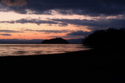
陸続きになった奥の洲を写真に収めてきました。
I took pictures of Okunozu, which is connected to land.
この珍しい光景を写真に収め残すことを考え、長浜の奥の洲へ撮影に向かいました。
現地に到着したのは午後16時過ぎ、すでに冬の陽は傾き日暮れが訪れようとしていた。
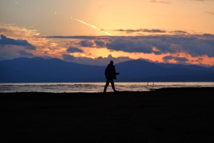
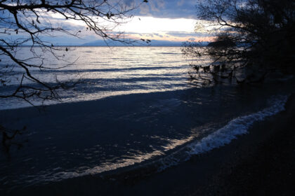
今回掲載する写真は、夕暮れ直前から日暮れ前までの写真。まずはこの日撮れた写真の中で第一セレクトしたものを掲載します。
やはり、現地に着くのが遅すぎたようで、あたりはもう暗くなっていて写真に残すのであれば午前中に行くべきかと思いました。
また、日を改めて早い時間に訪れ、今度は離れた場所から奥の洲の全景を収めたいと思いました。
I decided to take a photo of this rare sight, so I headed to Okunozu in Nagahama to photograph it.
By the time we arrived at the site, it was just after 4pm, and the winter sun had already set and nightfall was approaching.
The photos I will be posting this time were taken from just before dusk to just before nightfall. First of all, I will post the first selection of photos taken on this day.
As expected, I arrived too late, and it was already dark, so I thought I should go in the morning if I wanted to take photos.
I also visited earlier in the day, and this time I wanted to capture a panoramic view of Okunozu from a distance.
この時の奥の洲の写真は他にも掲載していますので、以下のタグをご覧ください。
We have posted other photos of Okunozu from this time, so please take a look at the tags below.
・タグ:奥の洲
追記:滋賀県からお願いが出たようです(2023年12月27日)。
奥の洲(長浜市)を訪問される方へ~動植物に配慮した行動をお願いします~
撮影データ
・撮影日時:2023年12月20日 16:00頃
・撮影場所:〒529-0367 滋賀県長浜市湖北町海老江1049周辺
・撮影カメラ:FUJIFILM XT30
・撮影レンズ:XF16-80mmf4
撮影地 駐車場・トイレ 行き方・アクセス
奥の洲へは、下記のGoogle Mapを設定することで行けるでしょう。
奥の洲ポイントの湖岸道路の反対側には、わりと広い駐車スペースがあって車を停められます。
確認していませんが、おそらく奥の洲へ立ち寄るための駐車場のようです。
ここにはトイレはありませんが、湖岸道路の2km南側には”奥びわスポーツの森 駐車場”があって、そちらのトイレが使えると思います。
これらの施設や奥の洲へ降りる道〜浅瀬〜奥の洲は、いずれも公共・自然環境に属するものなので利用・立ち入りには注意が要りそうです。
撮影写真
